Browse our content by category, state and city. Waterway Guide is the most detailed resource for boaters to find information on marinas, services, anchorages, bridges, locks, fuel prices, navigation alerts and more. Plan your voyage on the water today.

/-81.449182033539,30.444326480785,15/200x80?access_token=pk.eyJ1Ijoid2F0ZXJ3YXlndWlkZSIsImEiOiJGRmM1RDdzIn0.Wya5yV5QEqbz0-fct8zyIA)
FL: Sisters Creek by G73/R74, MM 735
0.87 miles
0.87 miles
/-81.470500230789,30.501656908322,15/200x80?access_token=pk.eyJ1Ijoid2F0ZXJ3YXlndWlkZSIsImEiOiJGRmM1RDdzIn0.Wya5yV5QEqbz0-fct8zyIA)
FL: Sawpit Creek MM 731
4.01 miles
4.01 miles
/-81.45605,30.38367,15/200x80?access_token=pk.eyJ1Ijoid2F0ZXJ3YXlndWlkZSIsImEiOiJGRmM1RDdzIn0.Wya5yV5QEqbz0-fct8zyIA)
FL: Mile Point Lighted Buoy 24, Off Station
4.18 miles
4.18 miles
/-81.512,30.396,15/200x80?access_token=pk.eyJ1Ijoid2F0ZXJ3YXlndWlkZSIsImEiOiJGRmM1RDdzIn0.Wya5yV5QEqbz0-fct8zyIA)
FL: Sector Jacksonville, St. Johns River, Blount Island Marine Terminal, Marine Construction
4.38 miles
4.38 miles
/-81.45428,30.37804,15/200x80?access_token=pk.eyJ1Ijoid2F0ZXJ3YXlndWlkZSIsImEiOiJGRmM1RDdzIn0.Wya5yV5QEqbz0-fct8zyIA)
FL: Pablo Creek, Light 5, Structure Destroyed
4.58 miles
4.58 miles
/-81.452915668488,30.377595805997,15/200x80?access_token=pk.eyJ1Ijoid2F0ZXJ3YXlndWlkZSIsImEiOiJGRmM1RDdzIn0.Wya5yV5QEqbz0-fct8zyIA)
FL: Pablo Creek, North Entrance, Mile Marker 740, shoaling
4.62 miles
4.62 miles
/-81.455125808716,30.525559265831,15/200x80?access_token=pk.eyJ1Ijoid2F0ZXJ3YXlndWlkZSIsImEiOiJGRmM1RDdzIn0.Wya5yV5QEqbz0-fct8zyIA)
FL: South Amelia River, shoaling MM 729
5.67 miles
5.67 miles
/-81.459735819,30.529807213,15/200x80?access_token=pk.eyJ1Ijoid2F0ZXJ3YXlndWlkZSIsImEiOiJGRmM1RDdzIn0.Wya5yV5QEqbz0-fct8zyIA)
FL: South Amelia River, Large Debris and Dredging - NE of Red 46 Kingsley Creek
5.94 miles
5.94 miles
/-81.468815803528,30.53820129131,15/200x80?access_token=pk.eyJ1Ijoid2F0ZXJ3YXlndWlkZSIsImEiOiJGRmM1RDdzIn0.Wya5yV5QEqbz0-fct8zyIA)
FL: S. Amelia River by R44, MM 728
6.53 miles
6.53 miles
/-81.465253829956,30.548291551801,15/200x80?access_token=pk.eyJ1Ijoid2F0ZXJ3YXlndWlkZSIsImEiOiJGRmM1RDdzIn0.Wya5yV5QEqbz0-fct8zyIA)
FL: S. Amelia River by R42/R44, MM 727
7.22 miles
7.22 miles
/-81.473450660706,30.570612064318,15/200x80?access_token=pk.eyJ1Ijoid2F0ZXJ3YXlndWlkZSIsImEiOiJGRmM1RDdzIn0.Wya5yV5QEqbz0-fct8zyIA)
FL: S. Amelia River by G37, MM 725
8.78 miles
8.78 miles
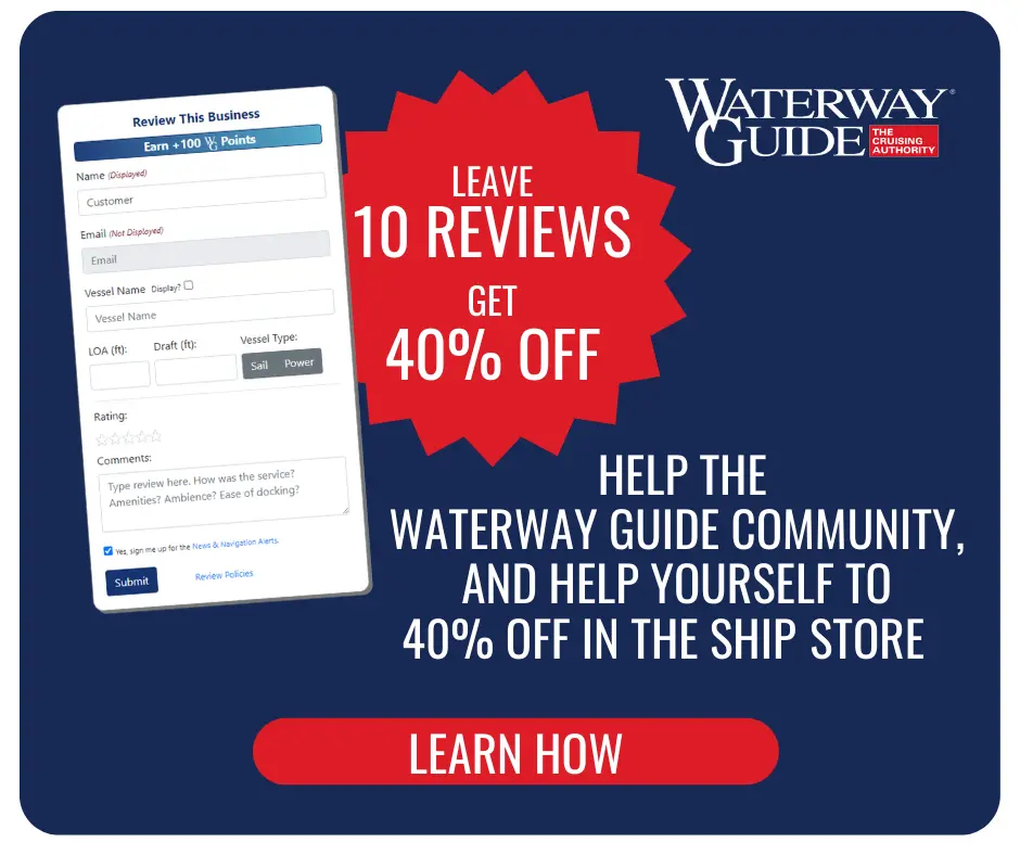
Reviewing Marinas, Basins, Dockage, Locks, Navigation Alerts & Fuel Stops is easy. Interacting with the Waterway Guide community will earn points that can qualify you for rewards and free guide content.
Happy Cruising! ![]() Points
Points