Browse our content by category, state and city. Waterway Guide is the most detailed resource for boaters to find information on marinas, services, anchorages, bridges, locks, fuel prices, navigation alerts and more. Plan your voyage on the water today.

/-80.240801436179,25.404056973161,15/200x80?access_token=pk.eyJ1Ijoid2F0ZXJ3YXlndWlkZSIsImEiOiJGRmM1RDdzIn0.Wya5yV5QEqbz0-fct8zyIA)
FL: Caesar Creek, Buoys 29 and 30 Missing
4.07 miles
4.07 miles
/-80.22039,25.38384,15/200x80?access_token=pk.eyJ1Ijoid2F0ZXJ3YXlndWlkZSIsImEiOiJGRmM1RDdzIn0.Wya5yV5QEqbz0-fct8zyIA)
FL: Caesar Creek Daybeacon 14, Structure Destroyed
5.95 miles
5.95 miles
/-80.193648513,25.384855764,15/200x80?access_token=pk.eyJ1Ijoid2F0ZXJ3YXlndWlkZSIsImEiOiJGRmM1RDdzIn0.Wya5yV5QEqbz0-fct8zyIA)
FL: Caesar Creek, Shoaling at beginning of channel
7.21 miles
7.21 miles
/-80.272961404461,25.335687510451,15/200x80?access_token=pk.eyJ1Ijoid2F0ZXJ3YXlndWlkZSIsImEiOiJGRmM1RDdzIn0.Wya5yV5QEqbz0-fct8zyIA)
FL: Angelfish Creek, Middle Creek West Entrance, 6' on West side
7.51 miles
7.51 miles
/-80.269197405267,25.335772474691,15/200x80?access_token=pk.eyJ1Ijoid2F0ZXJ3YXlndWlkZSIsImEiOiJGRmM1RDdzIn0.Wya5yV5QEqbz0-fct8zyIA)
FL: Angelfish Creek, Shallow
7.54 miles
7.54 miles
/-80.16517,25.43406,15/200x80?access_token=pk.eyJ1Ijoid2F0ZXJ3YXlndWlkZSIsImEiOiJGRmM1RDdzIn0.Wya5yV5QEqbz0-fct8zyIA)
FL: Elliott Key Daybeacon 17, Structure Destroyed
7.77 miles
7.77 miles
/-80.16161,25.45778,15/200x80?access_token=pk.eyJ1Ijoid2F0ZXJ3YXlndWlkZSIsImEiOiJGRmM1RDdzIn0.Wya5yV5QEqbz0-fct8zyIA)
FL: Elliott Key Daybeacon 15, Structure Destroyed
8.02 miles
8.02 miles
/-80.25316,25.33163,15/200x80?access_token=pk.eyJ1Ijoid2F0ZXJ3YXlndWlkZSIsImEiOiJGRmM1RDdzIn0.Wya5yV5QEqbz0-fct8zyIA)
FL: Angelfish Creek Daybeacon 4, Structure Destroyed
8.05 miles
8.05 miles
/-80.15984,25.37366,15/200x80?access_token=pk.eyJ1Ijoid2F0ZXJ3YXlndWlkZSIsImEiOiJGRmM1RDdzIn0.Wya5yV5QEqbz0-fct8zyIA)
FL: Elliott Key, Pacific Reef Daybeacon 3, Structure Destroyed
9.41 miles
9.41 miles
/-80.14409,25.49652,15/200x80?access_token=pk.eyJ1Ijoid2F0ZXJ3YXlndWlkZSIsImEiOiJGRmM1RDdzIn0.Wya5yV5QEqbz0-fct8zyIA)
FL: Bache Shoal Daybeacon 9, Daymark Missing
9.77 miles
9.77 miles
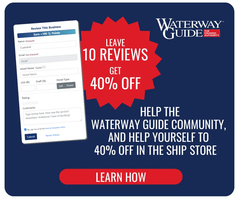
Reviewing Marinas, Basins, Dockage, Locks, Navigation Alerts & Fuel Stops is easy. Interacting with the Waterway Guide community will earn points that can qualify you for rewards and free guide content.
Happy Cruising! ![]() Points
Points