Browse our content by category, state and city. Waterway Guide is the most detailed resource for boaters to find information on marinas, services, anchorages, bridges, locks, fuel prices, navigation alerts and more. Plan your voyage on the water today.
| Name/Title | Distance | Rating | |
|---|---|---|---|
| Charleston - Brittlebank Park | 1.59 miles |

/-79.962436317,32.786935911,15/200x80?access_token=pk.eyJ1Ijoid2F0ZXJ3YXlndWlkZSIsImEiOiJGRmM1RDdzIn0.Wya5yV5QEqbz0-fct8zyIA)
|
|
| Stono River R20 | 1.71 miles |
/-80.009608459553,32.77000441261,15/200x80?access_token=pk.eyJ1Ijoid2F0ZXJ3YXlndWlkZSIsImEiOiJGRmM1RDdzIn0.Wya5yV5QEqbz0-fct8zyIA)
|
|
| Wappoo Creek | 1.71 miles |
/-79.9808333333,32.7647166667,15/200x80?access_token=pk.eyJ1Ijoid2F0ZXJ3YXlndWlkZSIsImEiOiJGRmM1RDdzIn0.Wya5yV5QEqbz0-fct8zyIA)
|
|
| Charleston - James Island Expressway | 1.88 miles |
/-79.958883333333,32.780283333333,15/200x80?access_token=pk.eyJ1Ijoid2F0ZXJ3YXlndWlkZSIsImEiOiJGRmM1RDdzIn0.Wya5yV5QEqbz0-fct8zyIA)
|
|
| Stono River - Buzzards Roost Point | 2.26 miles |
/-80.008883333333,32.759716666667,15/200x80?access_token=pk.eyJ1Ijoid2F0ZXJ3YXlndWlkZSIsImEiOiJGRmM1RDdzIn0.Wya5yV5QEqbz0-fct8zyIA)
|
|
| Charleston - Ashley River | 2.28 miles |
/-79.9533333333,32.7761166667,15/200x80?access_token=pk.eyJ1Ijoid2F0ZXJ3YXlndWlkZSIsImEiOiJGRmM1RDdzIn0.Wya5yV5QEqbz0-fct8zyIA)
|
|
| Stono River | 2.85 miles |
/-80.035788311,32.773917416,15/200x80?access_token=pk.eyJ1Ijoid2F0ZXJ3YXlndWlkZSIsImEiOiJGRmM1RDdzIn0.Wya5yV5QEqbz0-fct8zyIA)
|
|
| Stono River R22 | 3.65 miles |
/-80.051833333333,32.78,15/200x80?access_token=pk.eyJ1Ijoid2F0ZXJ3YXlndWlkZSIsImEiOiJGRmM1RDdzIn0.Wya5yV5QEqbz0-fct8zyIA)
|
|
| North Charleston | 3.67 miles |
/-80.021265485102,32.834340849134,15/200x80?access_token=pk.eyJ1Ijoid2F0ZXJ3YXlndWlkZSIsImEiOiJGRmM1RDdzIn0.Wya5yV5QEqbz0-fct8zyIA)
|
|
| Charleston - South Channel Range | 4.39 miles |
/-79.922814373,32.759009803,15/200x80?access_token=pk.eyJ1Ijoid2F0ZXJ3YXlndWlkZSIsImEiOiJGRmM1RDdzIn0.Wya5yV5QEqbz0-fct8zyIA)
|
|
| Stono River - Johns Island | 7.26 miles |
/-80.1147166667,32.78305,15/200x80?access_token=pk.eyJ1Ijoid2F0ZXJ3YXlndWlkZSIsImEiOiJGRmM1RDdzIn0.Wya5yV5QEqbz0-fct8zyIA)
|
|
| Inlet Creek | 9.54 miles |
/-79.82555,32.786666666667,15/200x80?access_token=pk.eyJ1Ijoid2F0ZXJ3YXlndWlkZSIsImEiOiJGRmM1RDdzIn0.Wya5yV5QEqbz0-fct8zyIA)
|
|
| Wando River - Nowell Creek | 9.75 miles |
/-79.881186293425,32.895868618387,15/200x80?access_token=pk.eyJ1Ijoid2F0ZXJ3YXlndWlkZSIsImEiOiJGRmM1RDdzIn0.Wya5yV5QEqbz0-fct8zyIA)
|
Find other nearby Anchorages & Free Docks in South Carolina
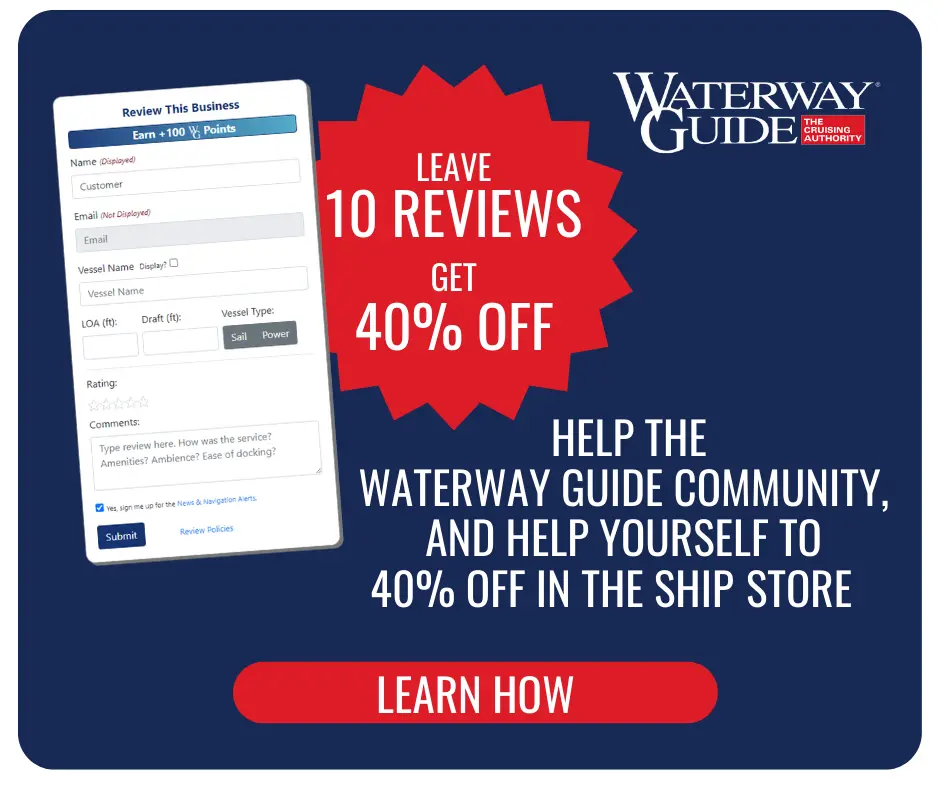
Reviewing Marinas, Basins, Dockage, Locks, Navigation Alerts & Fuel Stops is easy. Interacting with the Waterway Guide community will earn points that can qualify you for rewards and free guide content.
Happy Cruising! ![]() Points
Points